Pegasus Airborne Systems provides photogrammetry and mapping services utilising state of the art aerial mapping UAVs. All of our mapping UAVs are equipped for high precision RTK/PPK GNSS processing reducing the need for Ground Control Points. Using high resolution aerial photographs, we can generate a range of products including classified point cloud, digital terrain model, digital surface model, and high resolution GNSS located orthophotogrammetry. We have a range of various sized RTK/PPK photogrammetry UAVs suitable for all survey sizes, big and small. A high-resolution photogrammetric survey flown in conjunction with a UAV magnetic survey allows surface expressions of the geological structures in the magnetic data to be inspected and identified in high resolution orthophotography from your desktop before field exploration expeditions are planned.
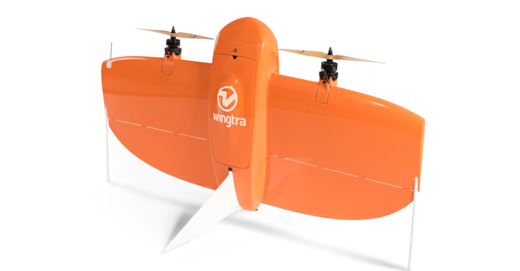
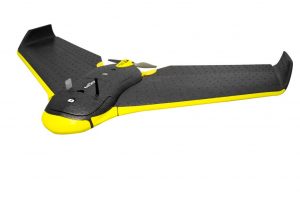
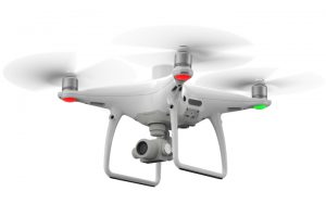
Choice of three UAV’s depending on survey size, Wingtra VTOL RTK/PPK for large surveys, senseFly eBee RTK/PPK or DJI Phantom 4 RTK/PPK for smaller surveys.
Full GNSS PPK processing resulting in <10cm accuracy.
Ground Control Points included in all surveys for verification of accuracy.
Ultra-high resolution DTM, DSM, and orthomosaic products.
For more information on our UAV photogrammetry services please click here