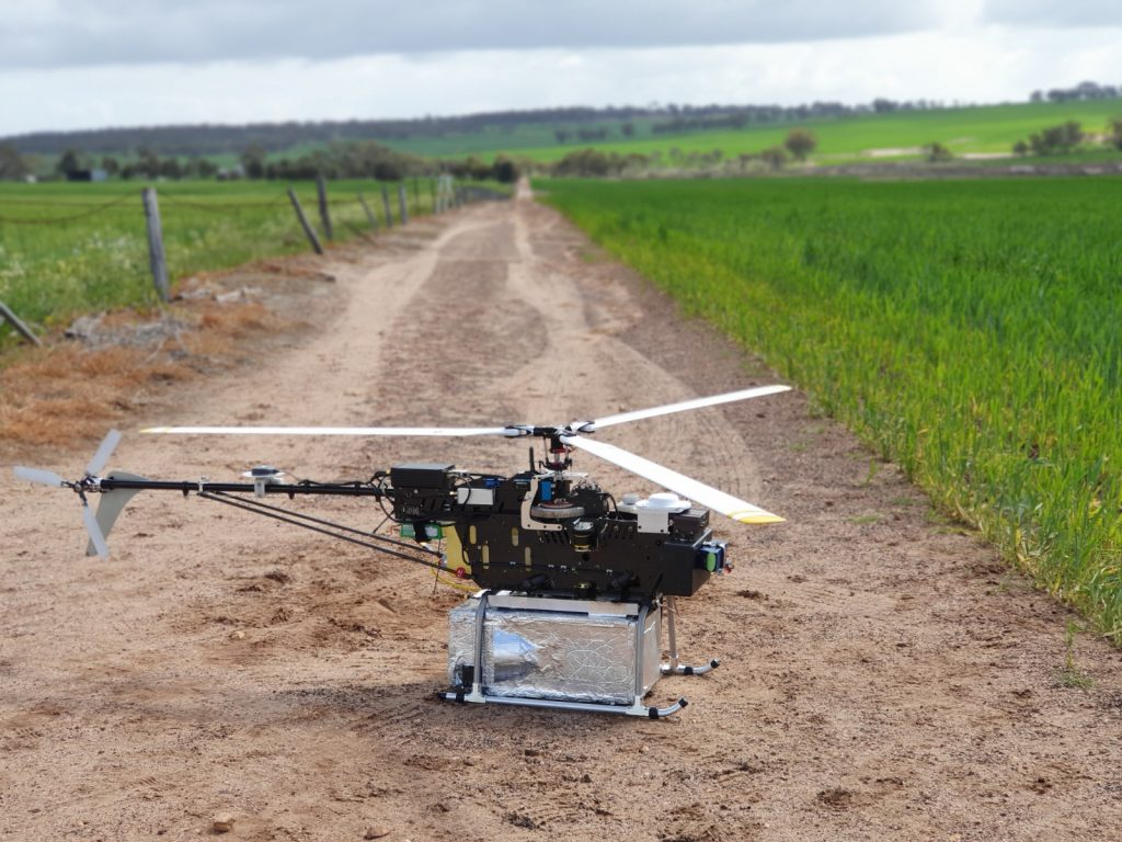
In addition to UAV magnetic survey and aerial mapping services, Pegasus Airborne Systems can provide an unmanned platform to carry any suitably sized geophysical or imaging payload.
We can carry and integrate custom payloads such as LIDAR, GPR, radiometrics, or multispectral/hyperspectral instruments, if you need a heavy lift our larger rotary wing aircraft are capable of lifting up to 40kg for one hour.
If you have a bespoke idea for a particular airborne geophysical survey type and want to realise it, contact us and we can make it happen.